 |
Web Development | Web Design | Flash | Print | GIS | CAD
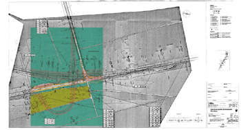
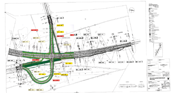
GIS - Geographic Information SystemsWhat is GIS? - Simply put, a GIS combines layers of information about a place to give you a better understanding of that place. During the 5 years I was working as a GIS technician in Hannover, Germany my duties included database programming and preparation of statistics, maps, and images for environmental planning in highway and railway projects. Maps like these ...
|
© 2003-22 Barbara Hartmann